Innovation · 3 min read
Facing Extreme Weather in Indonesia: Immersive Visualization for the Public Sector
How immersive visualization technology is helping Indonesian public institutions like BMKG communicate complex meteorological data.
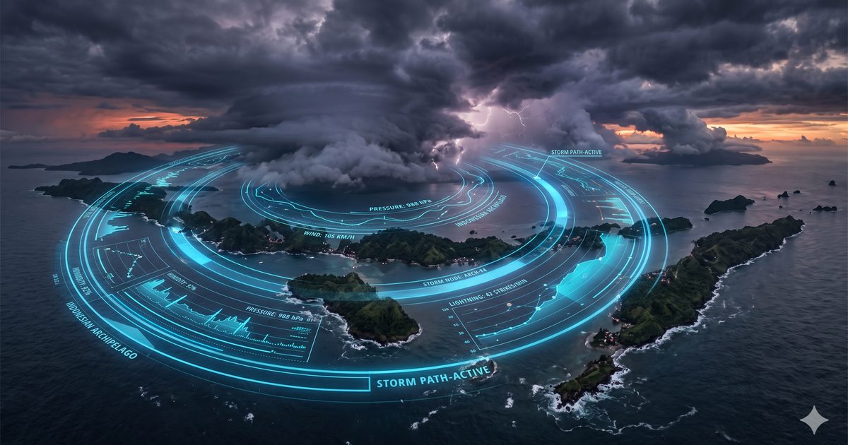
Indonesia is one of the most weather-exposed countries on earth. Sitting along the equator, straddling two oceans, and comprising more than 17,000 islands, it faces a meteorological complexity that challenges even the most sophisticated forecasting systems. Communicating that complexity to government stakeholders, infrastructure planners, disaster response teams, and the public is a challenge as significant as the forecasting itself. Immersive visualization is changing how Indonesian institutions meet that challenge.
The Communication Gap in Meteorological Data
BMKG — Indonesia's Meteorological, Climatological and Geophysical Agency — generates vast quantities of highly accurate meteorological data. The challenge is not the quality of the data but its accessibility. Rainfall probability maps, wind pattern models, ocean temperature gradients, and extreme weather alert systems are rich with information that is difficult to communicate through conventional dashboards and printed reports to audiences who are not meteorological specialists.
When a Deputy of Meteorology needs to brief a regional governor on flood risk, or when a disaster response team needs to understand the track and intensity of an approaching storm system, the fidelity and speed of that communication is measured in lives and infrastructure. Data visualisation that is unclear, slow, or inaccessible is not a minor inconvenience — it is a public safety issue.
Immersive Visualization in Practice
InReality Solutions has worked with public sector institutions in Indonesia to explore how immersive technology can close the communication gap between technical data and decision-making audiences. The approaches include:
- 3D atmospheric modelling – Weather system data rendered as navigable 3D environments, allowing stakeholders to move through a storm system, understand its three-dimensional structure, and observe how it interacts with terrain and coastlines.
- Virtual reality briefing environments – Meeting and briefing scenarios where decision-makers can be immersed in a simulated weather event — experiencing the projected conditions of a flood scenario or a storm surge — to inform preparation and response planning.
- Interactive data dashboards with spatial context – Traditional data presented in geospatially accurate 3D environments, where clicking a point on a map reveals the full data profile for that location in an intuitive, non-technical interface.
- Public education experiences – AR and interactive installations for science centres, schools, and public spaces that make meteorological and climate data engaging and legible for general audiences.
Beyond Meteorology: Immersive Visualization for Indonesian Government
The principles that make immersive visualization effective for meteorological communication apply broadly across Indonesian public sector contexts. Urban planning, infrastructure development, environmental impact assessment, and emergency preparedness all involve complex spatial and temporal data that is poorly served by conventional presentation formats.
A flood model that exists as a series of tables and probability figures becomes dramatically more useful when it is rendered as a navigable 3D visualization of a river basin over a 24-hour storm event. A land use plan that lives in a CAD file becomes accessible to community stakeholders when it can be experienced as a walk-through of the proposed development in its actual geographic context.
Working with InReality Solutions on Public Sector Projects
InReality Solutions brings deep experience in 3D environments, interactive data visualization, and immersive presentation to public sector engagements. We work with agency technical teams to understand data structures and communication objectives, then design and build the visualization layer that makes that data actionable for its intended audience.
For enquiries about immersive visualization projects in the Indonesian public sector, research institutions, or NGOs working on climate and disaster preparedness, contact our team directly.
Frequently Asked Questions
How is AR used in weather forecasting and meteorology?
Augmented reality overlays real-time meteorological data — storm tracks, rainfall probability fields, ocean temperature gradients — onto 3D geographic models, allowing analysts and decision-makers to navigate complex data spatially rather than reading flat charts. This is particularly valuable for rapid-onset weather events where clear communication saves lives.
What is immersive weather visualization?
Immersive weather visualization renders meteorological data as interactive 3D or VR environments. Instead of a two-dimensional map, a disaster response team can fly through a virtual storm system, observe how it interacts with terrain, and model flood inundation scenarios — all before the event occurs.
How does BMKG use technology to communicate climate risk to the public?
BMKG (Badan Meteorologi, Klimatologi, dan Geofisika) uses a combination of digital dashboards, social media alerts, and partner applications to reach Indonesian citizens. Immersive visualization adds a layer that makes complex data — like El Niño impact on specific regions — legible to non-specialist audiences including local government officials and journalists.
Can InReality Solutions build immersive visualization tools for government agencies?
Yes. InReality Solutions works with Indonesian public sector institutions on immersive data visualization projects — from interactive 3D briefing tools to VR simulation environments for emergency preparedness planning. Contact our team to discuss your specific project requirements.

Founder & Managing Director · LinkedIn
Ready to Build Your New Reality?
Tell us about your brand and goals — we'll show you what's possible.